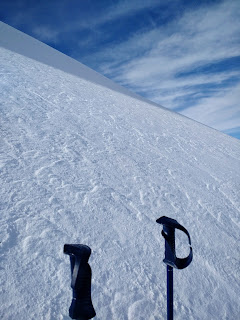
Sunday, January 18, 2015

Mineral Fork Trail - Big Cottonwood Canyon

18 January 2015
Elevations:
Min: 6737 ft Max 9940 ft Ascent: 4570 ft Descent 4540 ft

Total distance skied: 9.8 miles

The files and/or videos here are small and low resolution. The videos are flash format. If you want to download the pictures and/or videos in native format (jpg & mp4) and full resolution please click here.


Tracks from Garmin by BaseCamp
Clicking this map will leave this page
and take you to Google Maps
Profile from Garmin by BaseCamp
Spot

Thursday, January 15, 2015

Reed & Benson Ridge - Both Cottonwood Canyons

14 January 2015
Elevations:
Min: 7342 ft Max 10574 ft Ascent: 3747 ft Descent 5066 ft

Total distance skied: 6.9 miles

The files and/or videos here are small and low resolution. The videos are flash format. If you want to download the pictures and/or videos in native format (jpg & mp4) and full resolution please click here.

Tracks from Garmin by BaseCamp
Clicking this map will leave this page
and take you to Google Maps
Profile from Garmin by BaseCamp
Spot

Sunday, January 11, 2015

Avalanche Awareness Class - Logan Canyon

10 January 2015
Elevations:
Min: 7532 ft Max 8838 ft Ascent: 1968 ft Descent 1916 ft

Total distance skied: 5.1 miles

The files and/or videos here are small and low resolution. The videos are flash format. If you want to download the pictures and/or videos in native format (jpg & mp4) and full resolution please click here.


Tracks from Garmin by BaseCamp
Clicking this map will leave this page
and take you to Google Maps
Profile from Garmin by BaseCamp
Spot